Sign up to receive a free poster

Japan · 35.6762°, 139.6503°

Tokyo Map Poster: Density, Bay, and Sumida
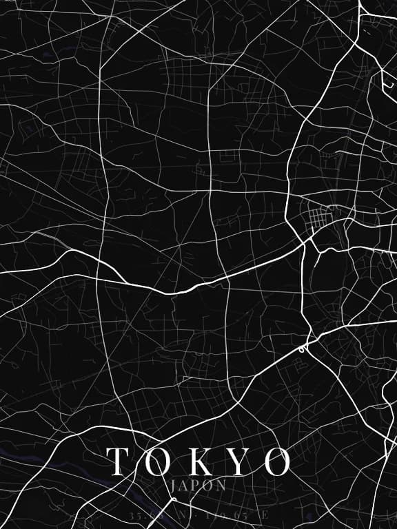
Map poster of Tokyo (Japan): streets, water and parks drawn from OpenStreetMap

Why this city works as a poster

Tokyo is the city on this list that demands the most attention to framing, precisely because it has no dominant structure: no grid, no radial stars, a very fine and very dense network. Framed wide it produces a uniform texture; framed tight, around the Sumida or the Imperial Palace, it becomes legible and singular.

Recommended framing

Stay under 5 km. The void of the Imperial Palace at the centre is the map's only large landmark: putting it in frame immediately gives scale and an anchor. The bay to the south-east plays the same role if you frame lower.

Which theme to pick

The finest possible linework on a dark ground. This is the city where the free preview matters most: the difference between a legible theme and a saturated one only shows at full size.

Where to centre the map

Palais impérial
A large void in the middle of the density: the map's strongest landmark.
Sumida
The river to the east, bringing the composition's only continuous line.
Shibuya
Framed at 1 km, the crossing and its converging streets form a star pattern.

How its streets are oriented

Street orientation in Tokyo: orientation order 0.04, organic pattern0° (N) – 180° (S): 5.4% of street length10° (N) – 190° (S): 7.4% of street length20° (NNE) – 200° (SSW): 6.2% of street length30° (NNE) – 210° (SSW): 8.0% of street length40° (NE) – 220° (SW): 5.2% of street length50° (NE) – 230° (SW): 7.3% of street length60° (ENE) – 240° (WSW): 3.5% of street length70° (ENE) – 250° (WSW): 4.8% of street length80° (E) – 260° (W): 2.8% of street length90° (E) – 270° (W): 6.8% of street length100° (E) – 280° (W): 7.2% of street length110° (ESE) – 290° (WNW): 6.3% of street length120° (ESE) – 300° (WNW): 6.8% of street length130° (SE) – 310° (NW): 4.0% of street length140° (SE) – 320° (NW): 6.3% of street length150° (SSE) – 330° (NNW): 3.3% of street length160° (SSE) – 340° (NNW): 5.2% of street length170° (S) – 350° (N): 3.6% of street length180° (S) – 0° (N): 5.4% of street length190° (S) – 10° (N): 7.4% of street length200° (SSW) – 20° (NNE): 6.2% of street length210° (SSW) – 30° (NNE): 8.0% of street length220° (SW) – 40° (NE): 5.2% of street length230° (SW) – 50° (NE): 7.3% of street length240° (WSW) – 60° (ENE): 3.5% of street length250° (WSW) – 70° (ENE): 4.8% of street length260° (W) – 80° (E): 2.8% of street length270° (W) – 90° (E): 6.8% of street length280° (W) – 100° (E): 7.2% of street length290° (WNW) – 110° (ESE): 6.3% of street length300° (WNW) – 120° (ESE): 6.8% of street length310° (NW) – 130° (SE): 4.0% of street length320° (NW) – 140° (SE): 6.3% of street length330° (NNW) – 150° (SSE): 3.3% of street length340° (NNW) – 160° (SSE): 5.2% of street length350° (N) – 170° (S): 3.6% of street lengthNESW

Within 3 km of the centre, we measured the orientation of 726 km of streets. Its orientation order is 0.04 out of 1: Tokyo ranks 52nd of the 64 cities in the study.

The streets run in almost every direction: no axis dominates, the pattern is organic.

See the full study: street orientation in 64 cities

Other annotated cities