France · 50.6292°, 3.0573°
Lille Map Poster: Vauban's Star-Shaped Citadel
Why this city works as a poster
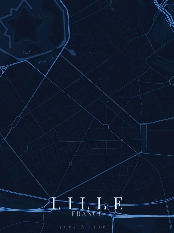
Lille has a shape no other major French city shows as clearly: Vauban's citadel, a seventeenth-century star-shaped pentagon surrounded by moats and set in the Bois de Boulogne park. On a map it is a perfect geometric star at the edge of a dense urban fabric with no dominant direction. The contrast between this engineer's drawing and the rest of the city makes the poster.
Recommended framing
Between 3 and 4 km across, with the citadel top left and Vieux-Lille in the centre. Beyond 6 km the star becomes too small to read; below 2 km you lose the contrast with the city.
Which theme to pick
A theme that draws parks and water: the green of the Bois de Boulogne and the water of the moats are what cut out the star. On a theme where parks melt into the background, the citadel is just a hole in the network.
Where to centre the map
- Citadelle
- The five-pointed star north-west of the centre, in its setting of green.
- Vieux-Lille
- Narrow, tight streets around the Grand-Place, the densest part of the poster.
- Euralille
- East of the centre, the large footprints of the Lille-Flandres and Lille-Europe stations open crisp voids in the fabric.
How its streets are oriented
Within 3 km of the centre, we measured the orientation of 453 km of streets. Its orientation order is 0.05 out of 1: Lille ranks 43rd of the 64 cities in the study and 14th of the 25 French cities.
The streets run in almost every direction: no axis dominates, the pattern is organic.
See the full study: street orientation in 64 cities