France · 48.5734°, 7.7521°
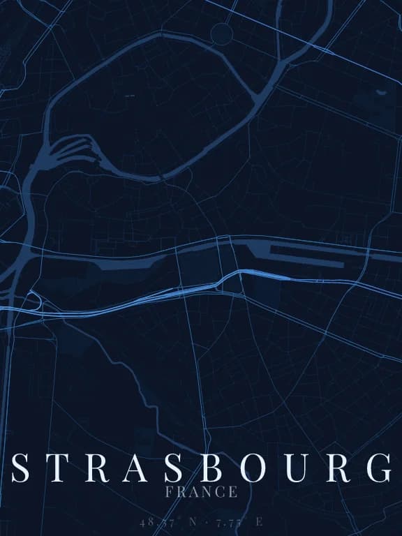
Strasbourg Map Poster: The Grande Île Ringed by Water
Why this city works as a poster
Strasbourg's historic centre is an island: the Grande Île, held between the Ill to the south and the Fossé du Faux-Rempart to the north. On the map it is a dense oval of medieval streets ringed by water, with the cathedral near its centre. To the north-east, the Neustadt, built between 1871 and 1918, stands out with wide, straight avenues: two cities from two eras, readable side by side.
Recommended framing
About 3 km across to make the Grande Île the subject, with Petite France to the west and the start of the Neustadt. To show the port and the Rhine as well, widen to 8 or 10 km in landscape: the river, to the east, gives the composition a firm edge.
Which theme to pick
A theme in which water stands out clearly from the background, or the ring of the Ill, which makes the centre so singular, disappears. Fine linework stops the medieval oval turning into a solid block.
Where to centre the map
- Grande Île
- The water-ringed oval with the cathedral: the heart of the poster.
- Petite France
- At the island's western tip the Ill splits into several channels: a 1 km frame turns it into a very fine water pattern.
- Port du Rhin
- To the east, the port's large rectangular basins form geometric flat areas of water.
How its streets are oriented
Within 3 km of the centre, we measured the orientation of 383 km of streets. Its orientation order is 0.01 out of 1: Strasbourg ranks 63rd of the 64 cities in the study and 24th of the 25 French cities.
The streets run in almost every direction: no axis dominates, the pattern is organic.
See the full study: street orientation in 64 cities