France · 43.7102°, 7.2620°
Nice Map Poster: The Curve of the Baie des Anges
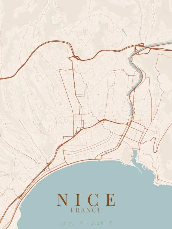
Why this city works as a poster
Nice is a seaside city in the most graphic sense: the Baie des Anges draws a long, regular curve underlined by the Promenade des Anglais, and the sea fills the whole bottom of the poster. That large void gives the map a rare balance. Above it the city climbs towards the hills, where the streets start to wind: the pattern goes from a lowland grid to hairpins.
Recommended framing
Landscape, 8 to 10 km across, from the airport in the west to the port in the east: the whole curve of the bay fits in the frame. For a more intimate keepsake, drop to 2 km on Vieux-Nice and Castle Hill.
Which theme to pick
Pick a theme where the sea has a colour of its own: over half the poster, a deep blue or a light sand changes everything. A theme that leaves water the colour of the background turns the bay into a plain paper edge.
Where to centre the map
- Promenade des Anglais
- The curve of the bay, underlined by the promenade for about 7 km.
- Vieux-Nice
- A triangle of tight lanes between Castle Hill and the Promenade du Paillon.
- Port Lympia
- East of the hill, the port basin adds a crisp, almost rectangular water shape.
How its streets are oriented
Within 3 km of the centre, we measured the orientation of 410 km of streets. Its orientation order is 0.03 out of 1: Nice ranks 57th of the 64 cities in the study and 20th of the 25 French cities.
The streets run in almost every direction: no axis dominates, the pattern is organic.
See the full study: street orientation in 64 cities