France · 45.8992°, 6.1294°
Annecy Map Poster: The Lake and the Old Town
Why this city works as a poster
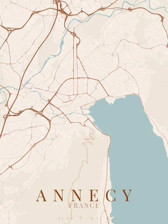
Annecy reads first through its lake: the city sits on its northern shore, and the water fills the whole south-east of the map in one large smooth shape that contrasts with the street network. The Thiou, flowing out of the lake, crosses the old town with its canals before heading north-west. To the south-west, the slopes of the Semnoz empty the map: the city is hemmed in by water on one side and mountain on the other.
Recommended framing
About 4 km across to hold the old town, the Pâquier and the start of the lake. Widen to 10 km in portrait and the lake takes on its long southward shape and becomes the poster's subject.
Which theme to pick
A theme that gives the lake a strong colour: it makes the composition. Light themes with bluish water render the lake's brightness particularly well.
Where to centre the map
- Vieille ville
- The Thiou canals and the Palais de l'Isle, at the heart of a very fine web of lanes.
- Le Pâquier
- The large lawn on the lakeshore, a bright void between the city and the water.
- Rive est
- Towards Talloires, the road runs along the lake at the foot of the mountains: a single line between two voids.
How its streets are oriented
Within 3 km of the centre, we measured the orientation of 282 km of streets. Its orientation order is 0.02 out of 1: Annecy ranks 60th of the 64 cities in the study and 22nd of the 25 French cities.
The streets run in almost every direction: no axis dominates, the pattern is organic.
See the full study: street orientation in 64 cities