United Kingdom · 51.5074°, -0.1278°
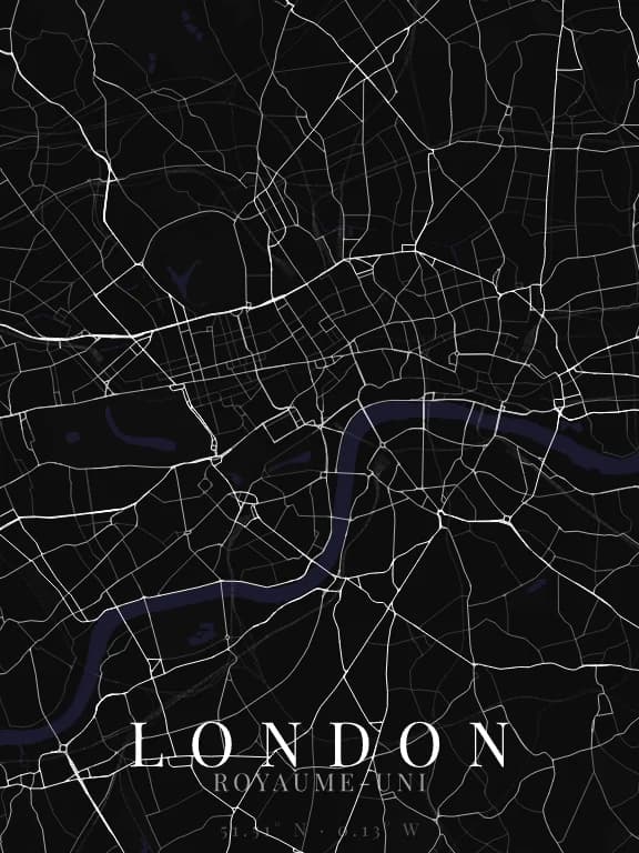
London Map Poster: The Thames Meanders
Why this city works as a poster
The Thames does not cross London in a line: it makes several tight loops, including the Isle of Dogs, nearly closed on itself. On a map those meanders produce a strong sinuous shape, very different from the single curve of a city like Bordeaux. Around it the urban fabric is irregular with no dominant grid, which leaves all the legibility to the river.
Recommended framing
Landscape, 12 to 15 km across: that is what it takes to hold at least two loops. Frame too tight and you show only one curve, at which point London becomes interchangeable with many other river cities.
Which theme to pick
Because the London fabric is dense and loosely structured, a dark theme with fine linework avoids a muddy result. The Thames should stay the brightest element on the poster.
Where to centre the map
- Isle of Dogs
- The nearly closed loop to the east, the most singular shape on the map.
- City of London
- A core of very fine medieval streets in the middle of a more recent fabric.
- Hyde Park
- A large green void to the west, useful for balancing an over-dense composition.
How its streets are oriented
Within 3 km of the centre, we measured the orientation of 527 km of streets. Its orientation order is 0.07 out of 1: London ranks 36th of the 64 cities in the study.
The streets run in almost every direction: no axis dominates, the pattern is organic.
See the full study: street orientation in 64 cities