Portugal · 38.7223°, -9.1393°
Lisbon Map Poster: The Tagus and the Baixa Grid
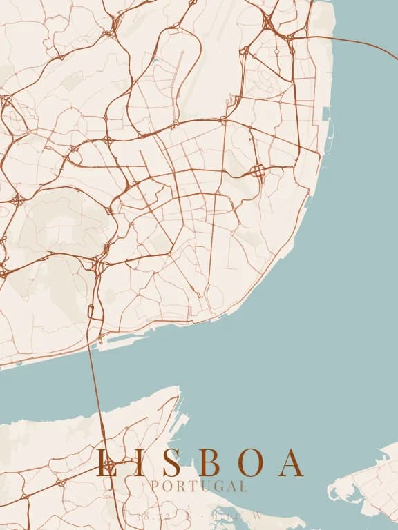
Why this city works as a poster
Lisbon has a rare property: two urban logics sit within a few hundred metres of each other. The Baixa, rebuilt in one go after 1755, is a perfectly regular grid; the Alfama and Bairro Alto, spared, keep a network of lanes that follows the slope. On a map the contrast between the two is immediate and tells the city's history without a word.
Recommended framing
A 4 km frame centred on the Baixa catches the grid, the two sloping districts on either side, and the edge of the Tagus at the bottom. It is the framing that holds the most information per square centimetre.
Which theme to pick
A light theme with medium contrast: here the contrast comes from the difference between the two street patterns, not from the ground-to-line ratio. An over-contrasted theme flattens that difference.
Where to centre the map
- Baixa
- The perfectly regular eighteenth-century grid at the water's edge.
- Alfama
- The lane network to the east, its linework following the hill.
- Tage
- The river is so wide it takes the bottom third of the poster: treat it as a flat area.
How its streets are oriented
Within 3 km of the centre, we measured the orientation of 457 km of streets. Its orientation order is 0.05 out of 1: Lisboa ranks 45th of the 64 cities in the study.
The streets run in almost every direction: no axis dominates, the pattern is organic.
See the full study: street orientation in 64 cities