Japan · 35.0116°, 135.7681°
Kyoto Map Poster: The Grid of the Old Capital
Why this city works as a poster
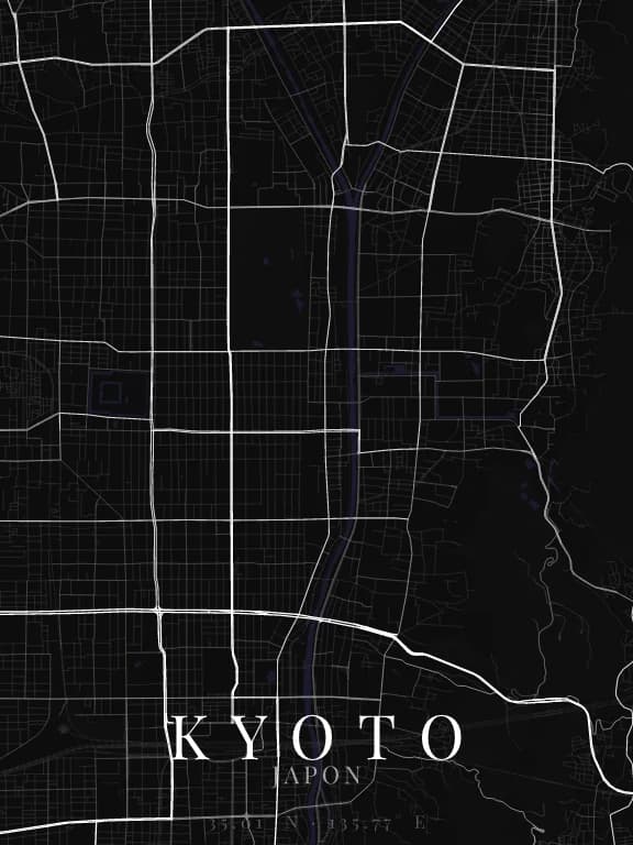
Kyoto was founded in 794 as Heian-kyō, modelled on the Chinese capital Chang'an: a north-south grid the city has kept to this day. On the map this grid fills a basin closed by mountains to the east, north and west: the grid stops dead where the slopes begin, which gives it a natural frame. The Kamo River runs along its east side, from north to south.
Recommended framing
Portrait, 6 to 8 km across, to hold the whole grid and the first slopes to the east and west. At 2 km, the Imperial Palace park or the moats of Nijō Castle become crisp rectangles within the grid.
Which theme to pick
A restrained theme with fine linework: the grid speaks for itself. Distinguish parks, or the large rectangle of the Imperial Palace blends into the weave.
Where to centre the map
- Kyoto Gyoen
- The large green rectangle of the Imperial Palace, north of the centre.
- Nijō-jō
- The castle's rectangular moats: a frame within the frame.
- Gion
- East of the Kamo, the grid gives way to lanes climbing towards the temples.
How its streets are oriented
Within 3 km of the centre, we measured the orientation of 448 km of streets. Its orientation order is 0.74 out of 1: Kyoto ranks 4th of the 64 cities in the study.
The streets follow a clear grid: two perpendicular directions carry most of the network. The main grid is aligned with north.
See the full study: street orientation in 64 cities