Netherlands · 52.3676°, 4.9041°
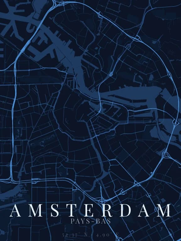
Amsterdam Map Poster: The Concentric Canals
Why this city works as a poster
Few cities have a shape this immediately recognisable. The central canals form nested half-circles, cut by radial streets: an almost perfect geometric figure that reads without a legend and without a name. It is the map that needs the least explanation of any listed here.
Recommended framing
Frame tight, 3 to 4 km, centred on the historic core. The canal figure is the subject; widening dilutes the pattern into suburbs that have nothing particular to show.
Which theme to pick
A theme with well-contrasted water, obviously, but also one where roads stay thin: if the street linework is too heavy it fills the space between canals and the concentric pattern disappears.
Where to centre the map
- Grachtengordel
- The canal belt itself: this is the pattern to put at the centre of the poster.
- Jordaan
- West of the belt, a tighter grid that contrasts with the curves.
- IJ
- The waterway to the north, which closes the composition at the top.
How its streets are oriented
Within 3 km of the centre, we measured the orientation of 549 km of streets. Its orientation order is 0.07 out of 1: Amsterdam ranks 35th of the 64 cities in the study.
The streets run in almost every direction: no axis dominates, the pattern is organic.
See the full study: street orientation in 64 cities